
February 4, 2019
Cloud-Based Technology in Healthcare and Patient Care
The third leading cause of death in America is errors made during patient care in hospitals. Thankfully, doctors, support staff,…

Cloud News, Resources and Information

The third leading cause of death in America is errors made during patient care in hospitals. Thankfully, doctors, support staff,…

Earlier this week, Fortanix announced that it had closed a sizeable Series B round of funding, which will help the…

Cyberattacks, natural disasters and human error doesn’t discriminate, and they can all have catastrophic effects for any organization in any industry. Everyday there are 6,080,122 records stolen, according to Breach Level Index. Shockingly, this means that every second, there are 70 records stolen.
Ensuring data privacy should be a top priority for every organization. Data Privacy Day was established to remind organizations that sensitive personal data and company information is always at risk on the internet-and a data protection plan is no longer a luxury.
We spoke to several security experts to find out why having a data protection plan in place is more important than ever, and the steps that organizations can take to safeguard their data.
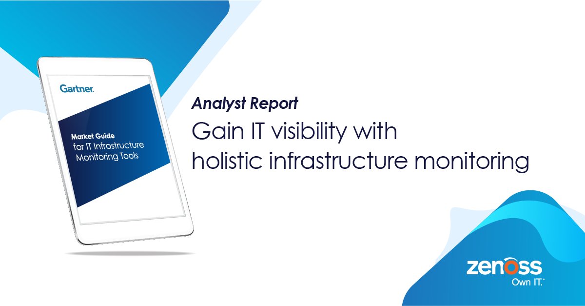
With the onset of more modular and cloud-centric architectures, many organizations with disparate monitoring tools are reassessing their monitoring landscape. According to Gartner, "With the onset of more modular and cloud-centric architectures, many organizations with disparate monitoring tools are reassessing their monitoring landscape. I&O leaders must adopt more holistic IT infrastructure monitoring tools to gain visibility into their IT landscape."
A Gartner Market Guide defines an emerging market and explains what clients can expect it to do in the short term, outlining the attributes of representative vendor offerings and how those offerings are likely to evolve.
This free guide provides insight into the IT infrastructure monitoring tool market and providers as well as key findings and recommendations.
Get your copy of the 2018 Gartner Market Guide for IT Infrastructure Monitoring Tools to see:

Article Written by Sally Perkins
Enterprises can increase their revenue by 23% simply by relying on digital-first strategies that focus on achieving strategic business goals. Embracing digital transformation is an issue that has plagued companies in every single industry for over a decade now. One of the biggest aspects of this transformation is the shift to cloud-based enterprise solutions, and it’s no different for the legal industry. As cybersecurity myths continue to be debunked and data privacy rules change for the better, law firms and tech-savvy clients alike are seeing the benefits of cloud-based technology and reaping the benefits of it, too.
Addressing Issues Of Data Security
Cybersecurity and data privacy are two of the most pressing concerns that companies in the legal industry have when choosing whether or not to adopt cloud-based technology. In fact, when asked about this problem, 66% of respondents said that security is their biggest concern regarding adopting an enterprise cloud computing platform. However, law firms all around the world currently operate under strict, often very specific data security processes developed to protect sensitive data. Seeing as this is one industry in which professionals are groomed, from the beginning, to protect data at all costs, it is becoming more and more recognized that firms that have transitioned to a cloud-based solution are becoming better equipped at mitigating the associated risks. From growth management to business continuity and even up-to-date compliance regulations, cybersecurity concerns are being toppled by numerous benefits to both lawyers and their clients.

Parallels RAS makes VDI quick, easy and affordable. It enables organizations to deliver fully functioning virtual Windows desktops and applications, boosting productivity on any device.
A few topics this webinar will cover are:


Zerto 7 is just around the corner – imagine a world without complexities of traditional backup. Zerto 7 has re-invented backup using its core Continuous Data Protection (CDP) and journal technology to deliver seconds of RPO at scale, from seconds to years. Do you worry about Ransomware, or other unplanned disruptions and recovering fast enough? Continuous Journal-based recovery gives you DVR-like abilities to rewind and resume from any point in time to protect against logical & hardware failures, human mistakes, and natural disasters.
Transform your IT with converged and continuous disaster recovery and backup – all in one simple, scalable platform.
Join Rob Strechay, Zerto’s SVP of Product, and Gijsbert Janssen van Doorn, Zerto Technology Evangelist on January 24th to learn how Zerto uses its journaling technology coupled with continuous replication to protect and recover files, VM’s, applications or even entire data centers and resume from just seconds before an incident – unlike out-of-date backups or snapshots.
Get an early preview into the latest features included in Zerto 7:
WHEN? THURSDAY, JANUARY 24TH @ 11:00AM ET

You’ve most likely seen small clusters of electric scooters cropping up on your local sidewalks, seemingly overnight. These cheap and effective forms of transportation are especially popular in urban metropolitan areas where the “last mile problem” affects the ways people move through their day-to-day lives. However, these scooters come with their own problems.

What are the cloud computing trends for 2019 to expect, prepare for and leverage to your advantage? Find out in this upcoming Vembu Webinar.
In this Webinar, you will learn:

Join DataCore Software to hear the story of Architectural Nexus (ArchNexus), Inc. and Universal Systems Incorporated (USI). ArchNexus provides customized architectural, landscape and interior design services. As a company with over 100 power user engineers and architects, ArchNexus needed a storage solution to meet the company’s high demand for performance. With the help of USI and DataCore Software, ArchNexus found a smart and affordable storage solution.
In this webcast you will discover:
Presenters:
WHEN? 1/29 @ 2pm ET